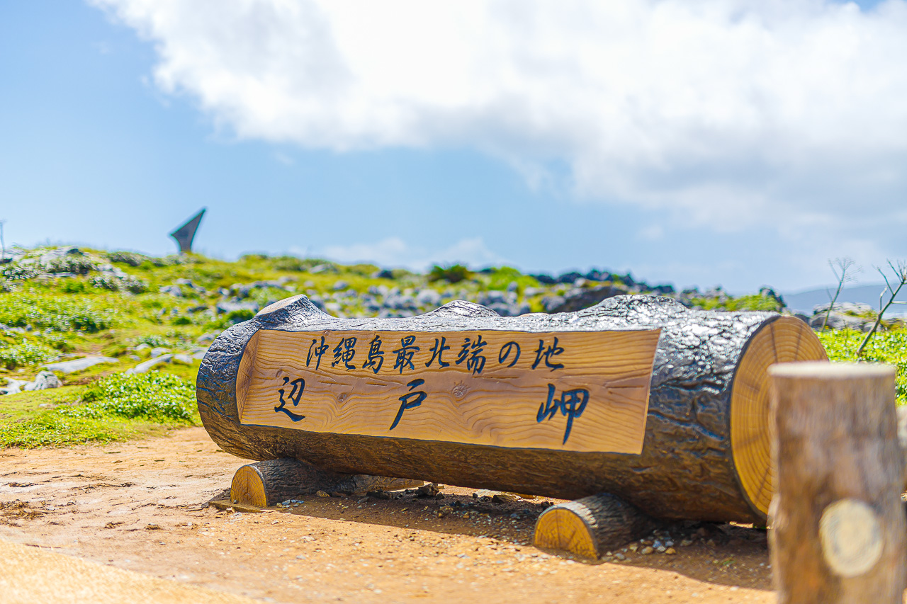
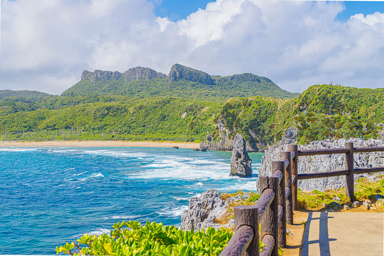
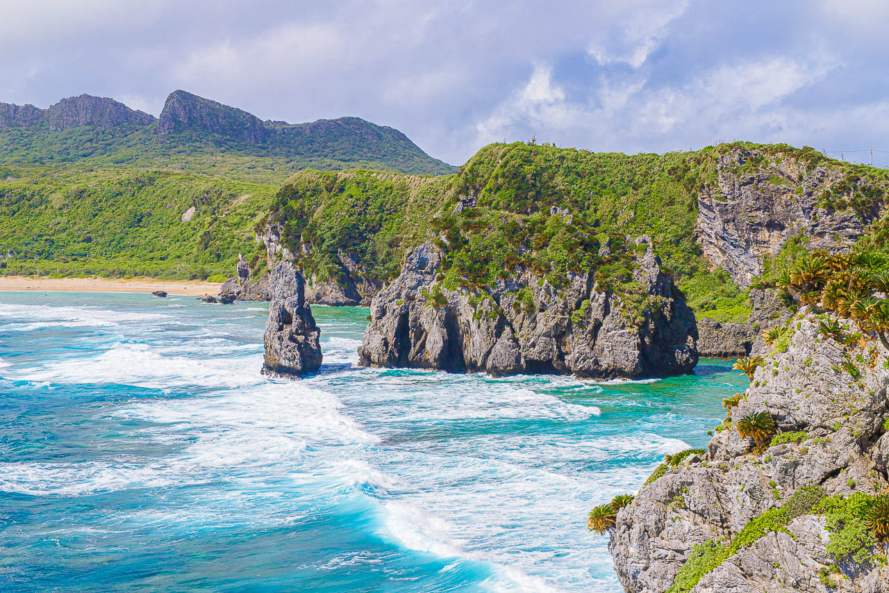
I visited Cape Hedo, at the northernmost tip of Okinawa’s main island.
It is called Hedo Misaki in Japanese and is part of a designated coastal quasi-national park in Okinawa.
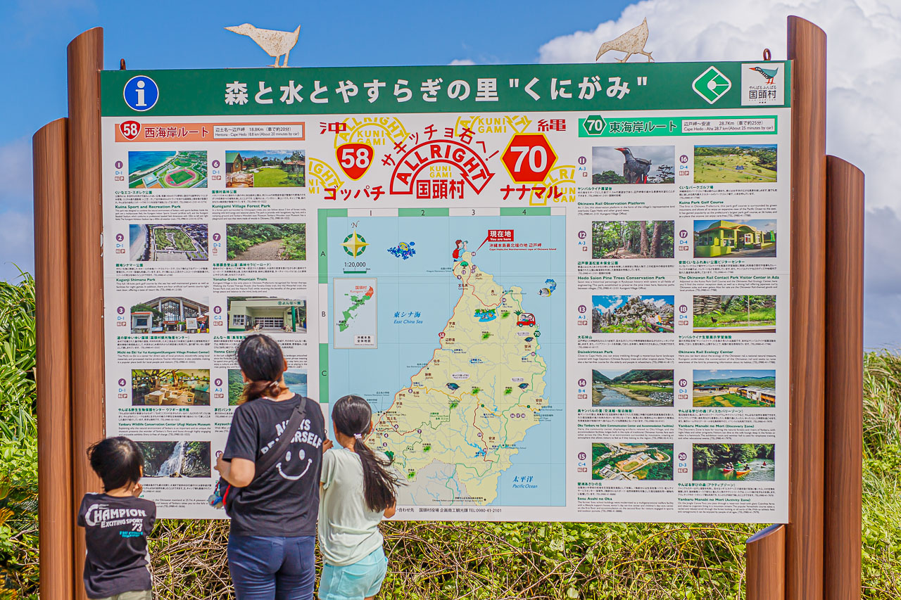
The original account places it more than about three hours from Naha Airport by the Okinawa Expressway and local roads.
I was told that, on an island surrounded by sea where a long drive has its limits, local residents sometimes test themselves with a drive to Cape Hedo after first getting their license.
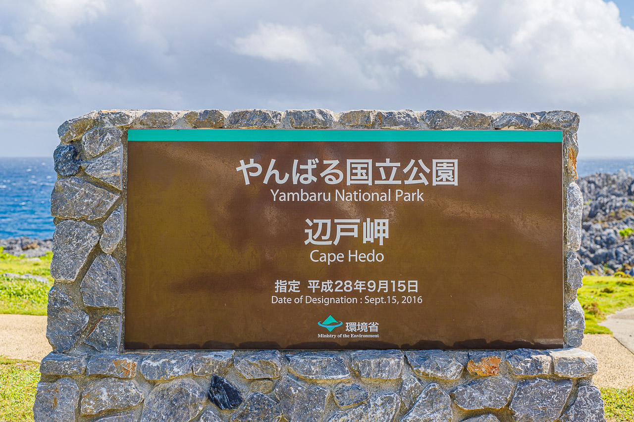
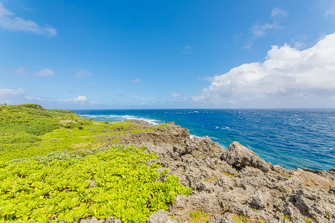
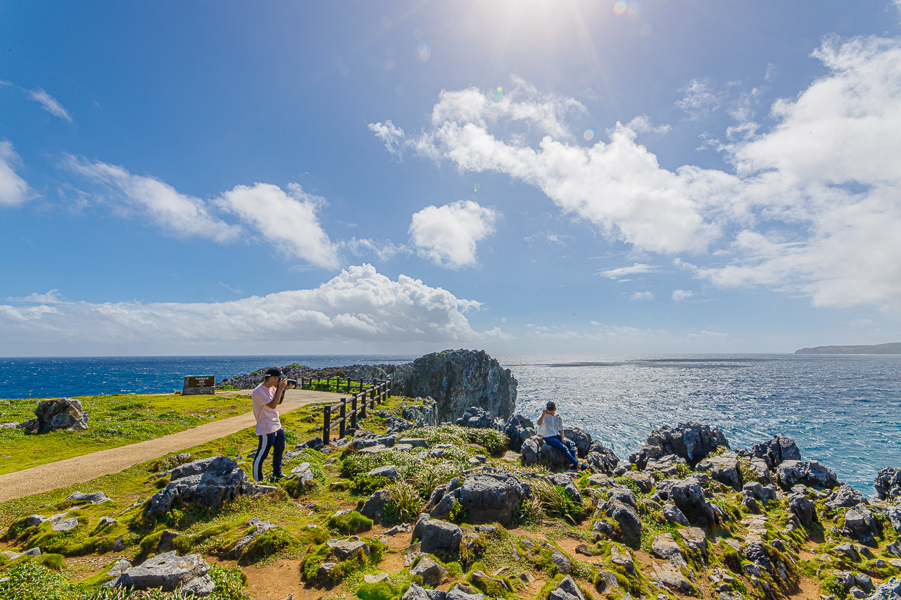
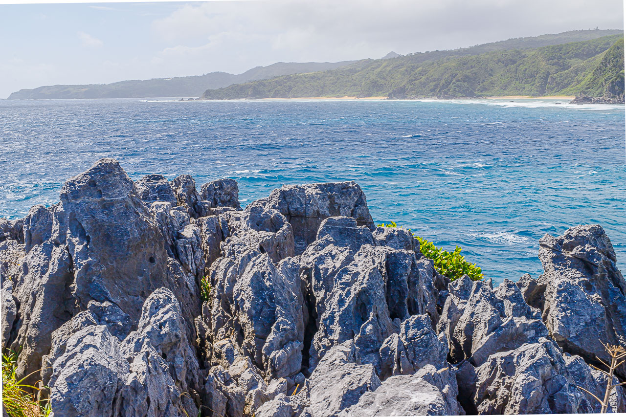
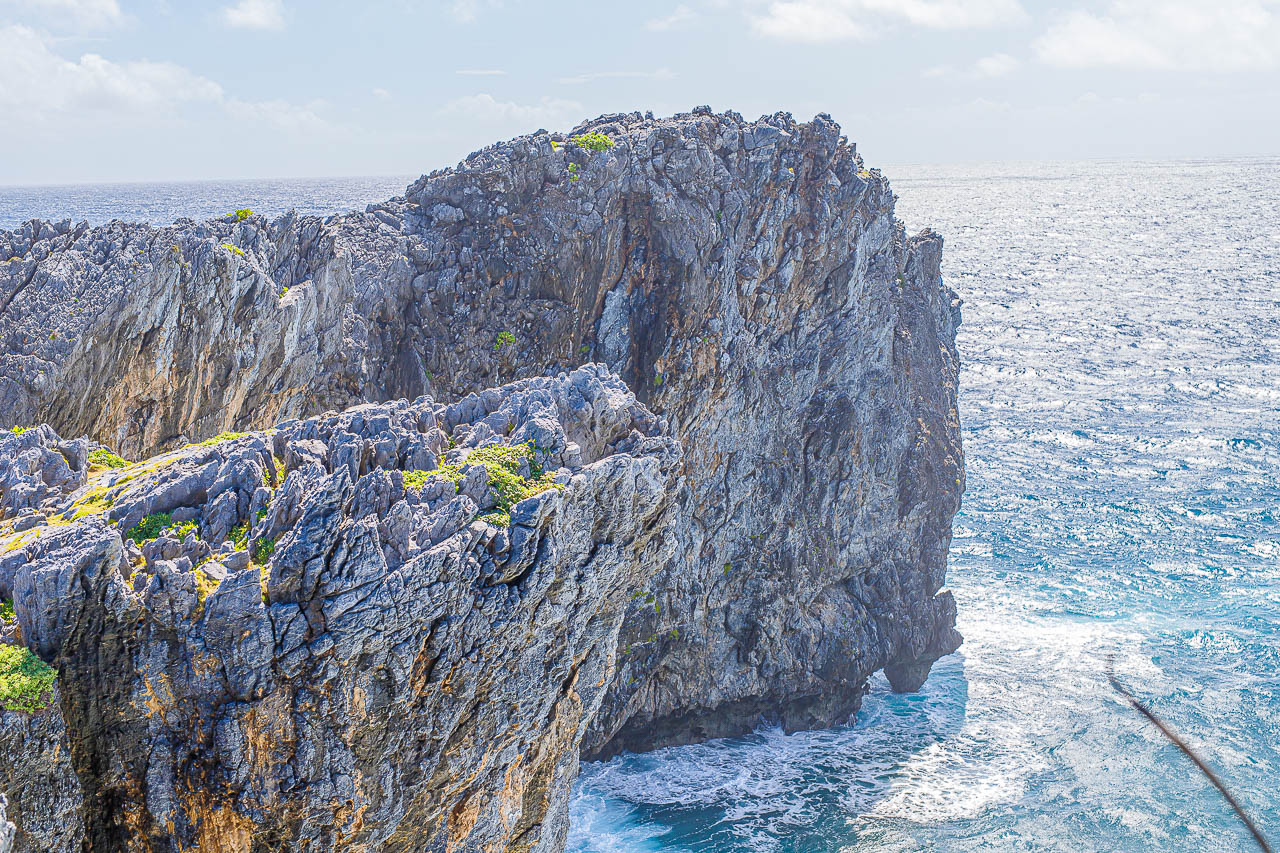
The sea where the Pacific Ocean meets the East China Sea and the rugged cliffs of uplifted Ryukyu limestone make a striking scene. Cape Hedo is also known in Okinawa as a “power spot,” a place believed to have spiritual significance.
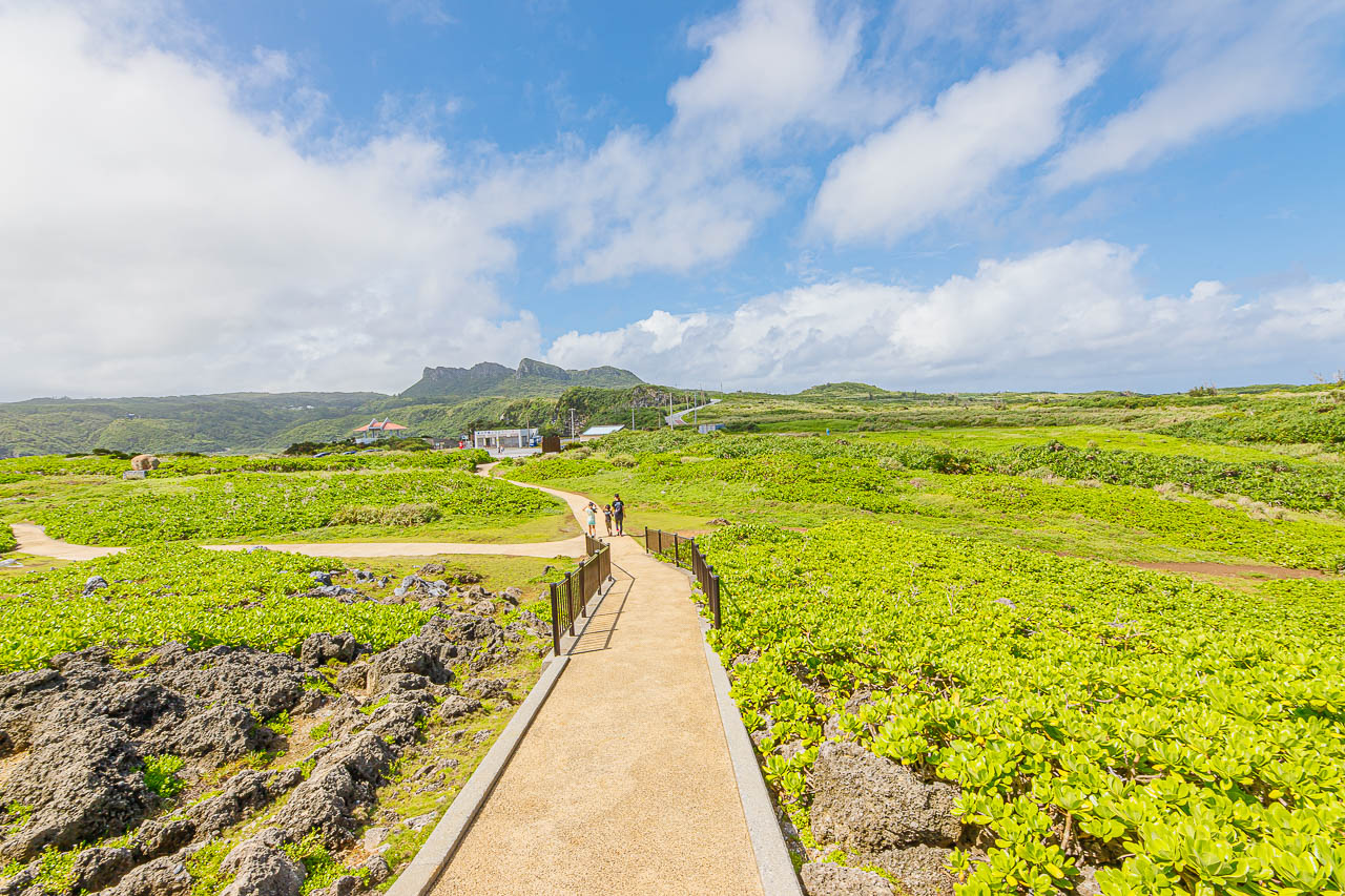
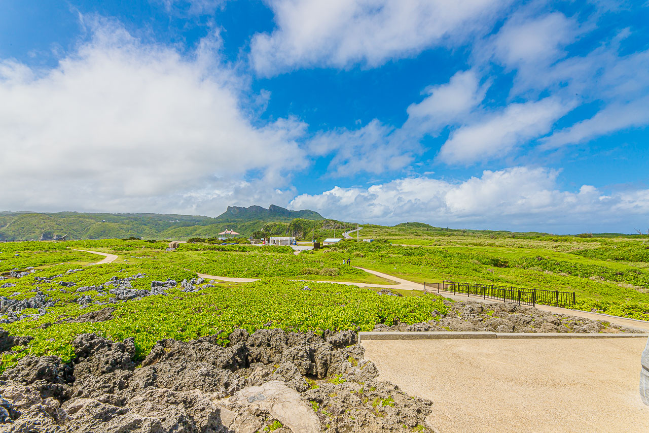
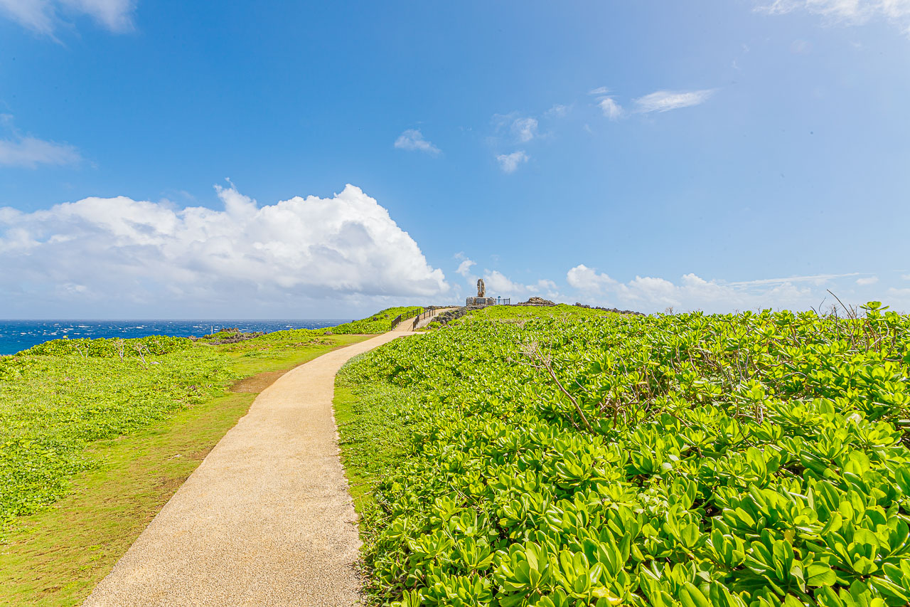
The route toward the coast is full of Okinawa’s green plants.
The sea wind gives them a distinctive low, compact form, clinging tightly to the ground.
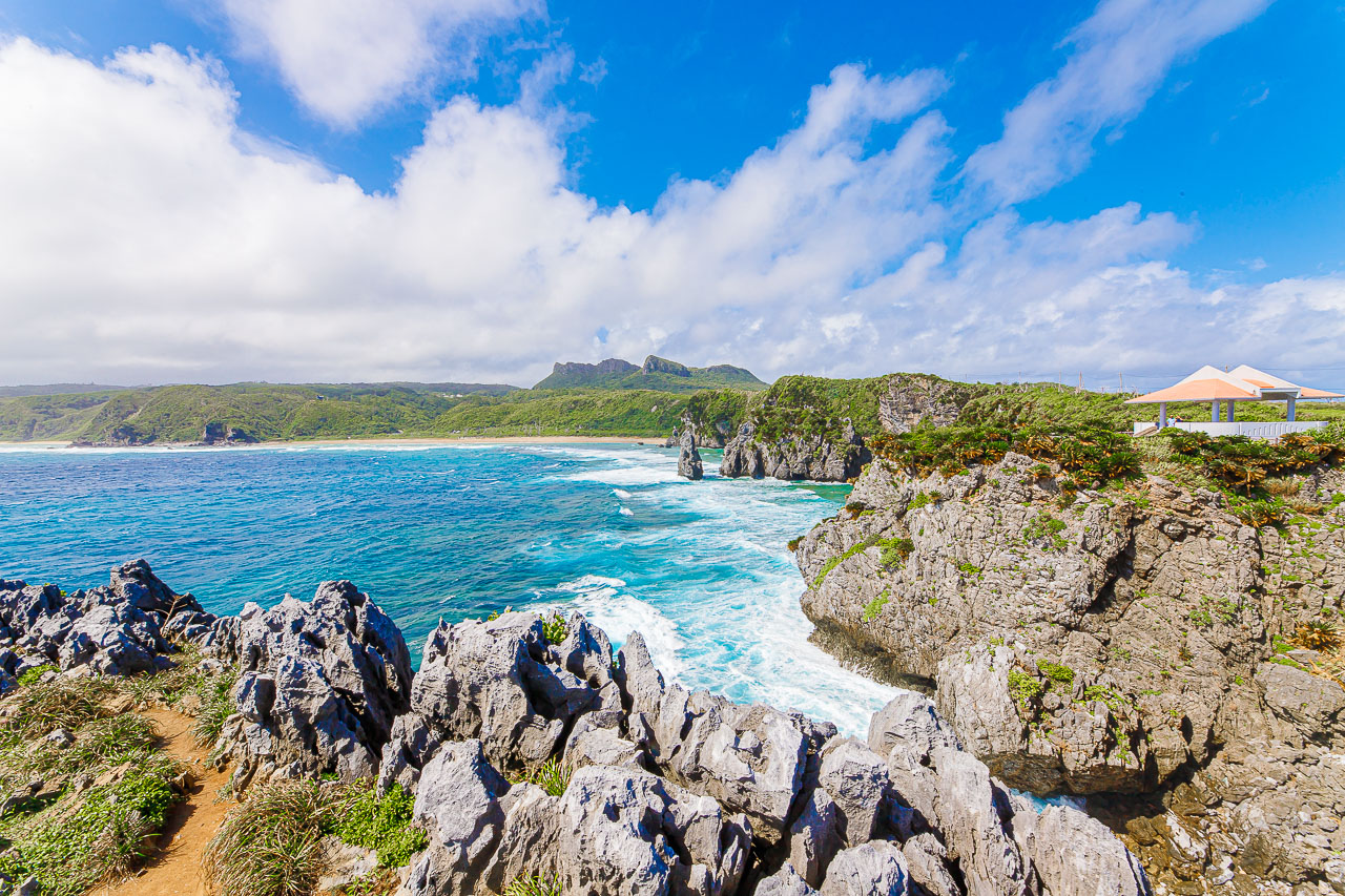
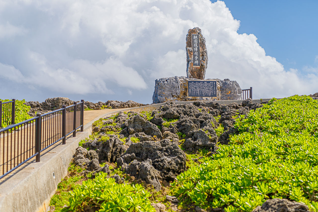
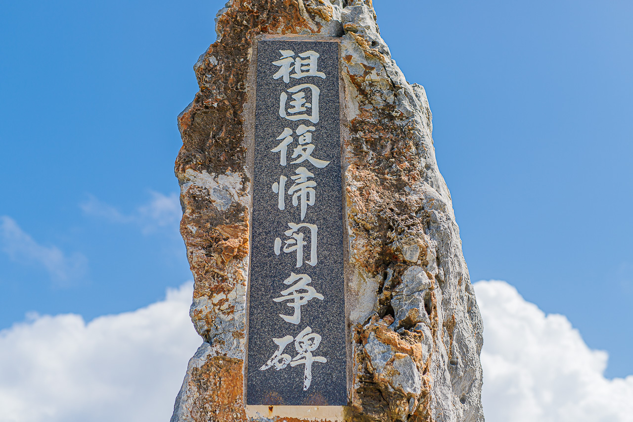
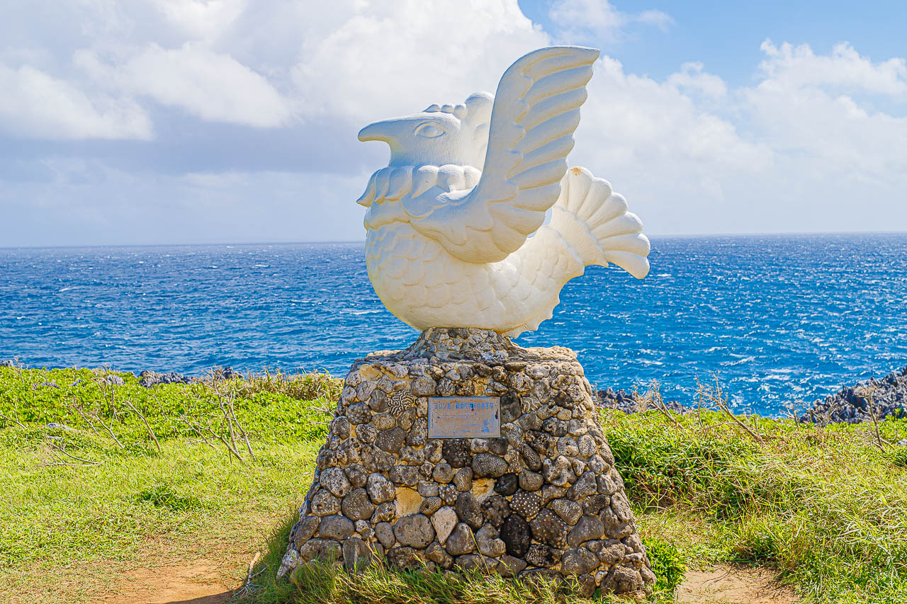
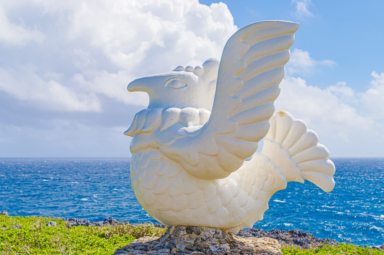
Cape Hedo may look peaceful and beautiful, but it also holds memories of Okinawa’s painful history.
The “Monument to the Struggle for Reversion to the Homeland” at the center of the cape was erected in 1972, when Okinawa returned to Japanese administration after U.S. rule and became Okinawa Prefecture.
The account says an annual gathering was held between Okinawa’s main island and Yoron Island in Kagoshima to mark the reversion. The “Yoron Island–Kunigami Village Friendship Monument” was erected to commemorate those gatherings, and that friendship has continued to be honored.
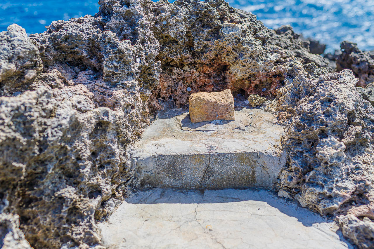

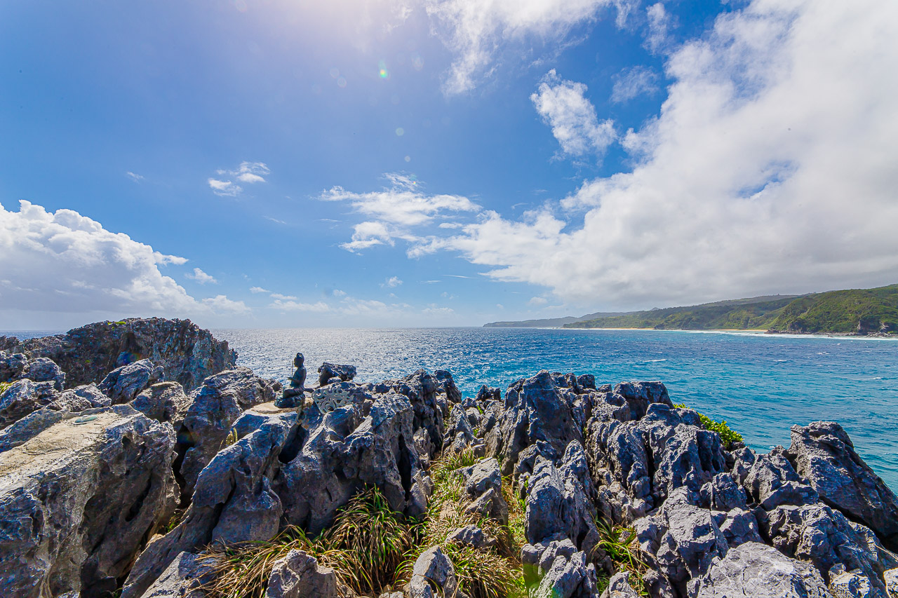
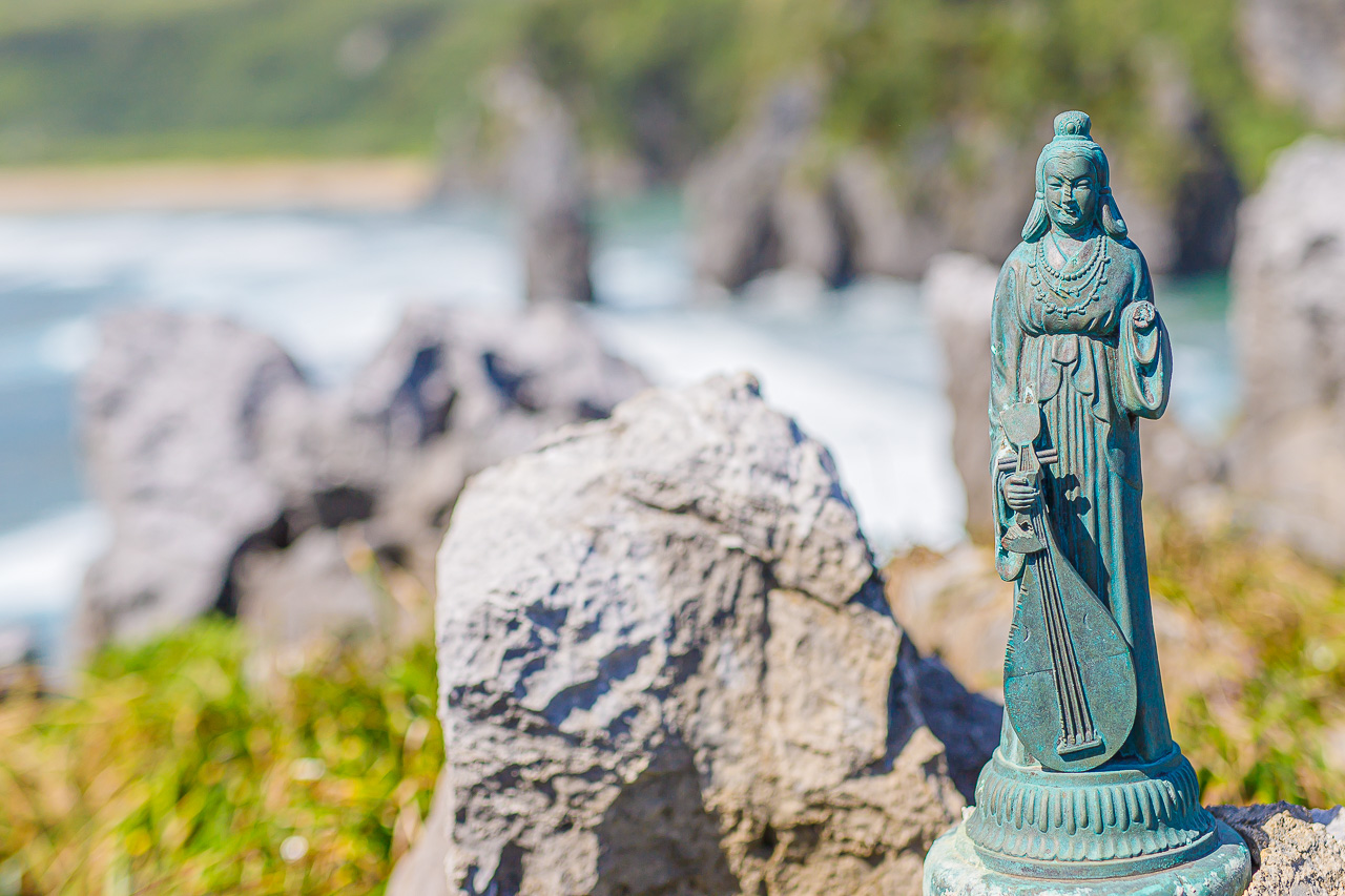
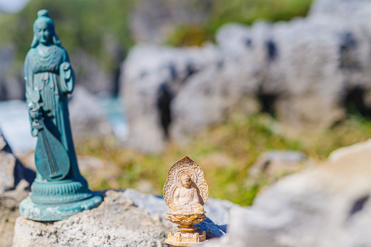
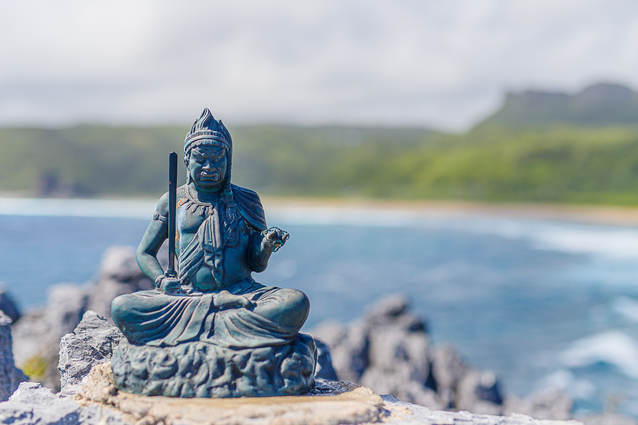
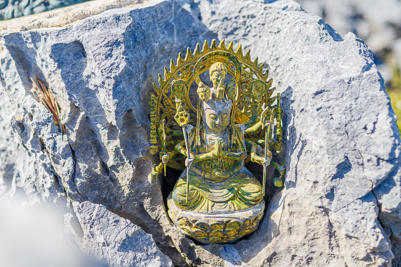
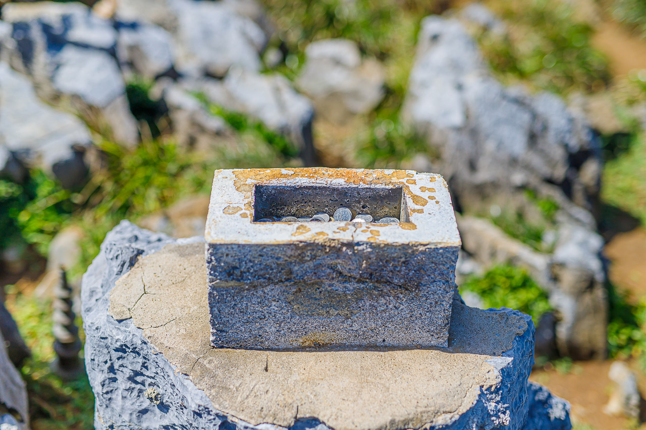
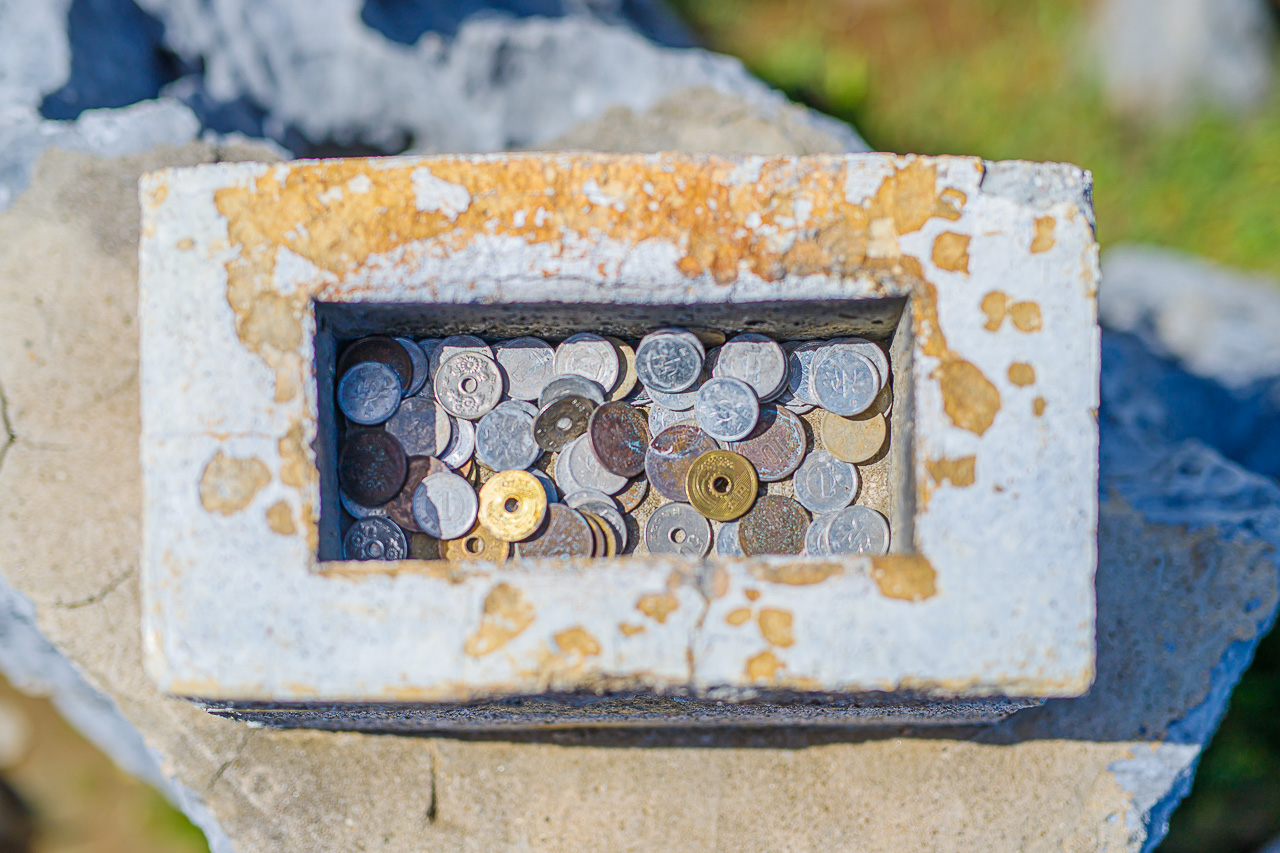
There are uganju, places for prayer, in various spots along the cliffs, along with Buddhist statues.
Local residents treasured Cape Hedo as a sacred place.
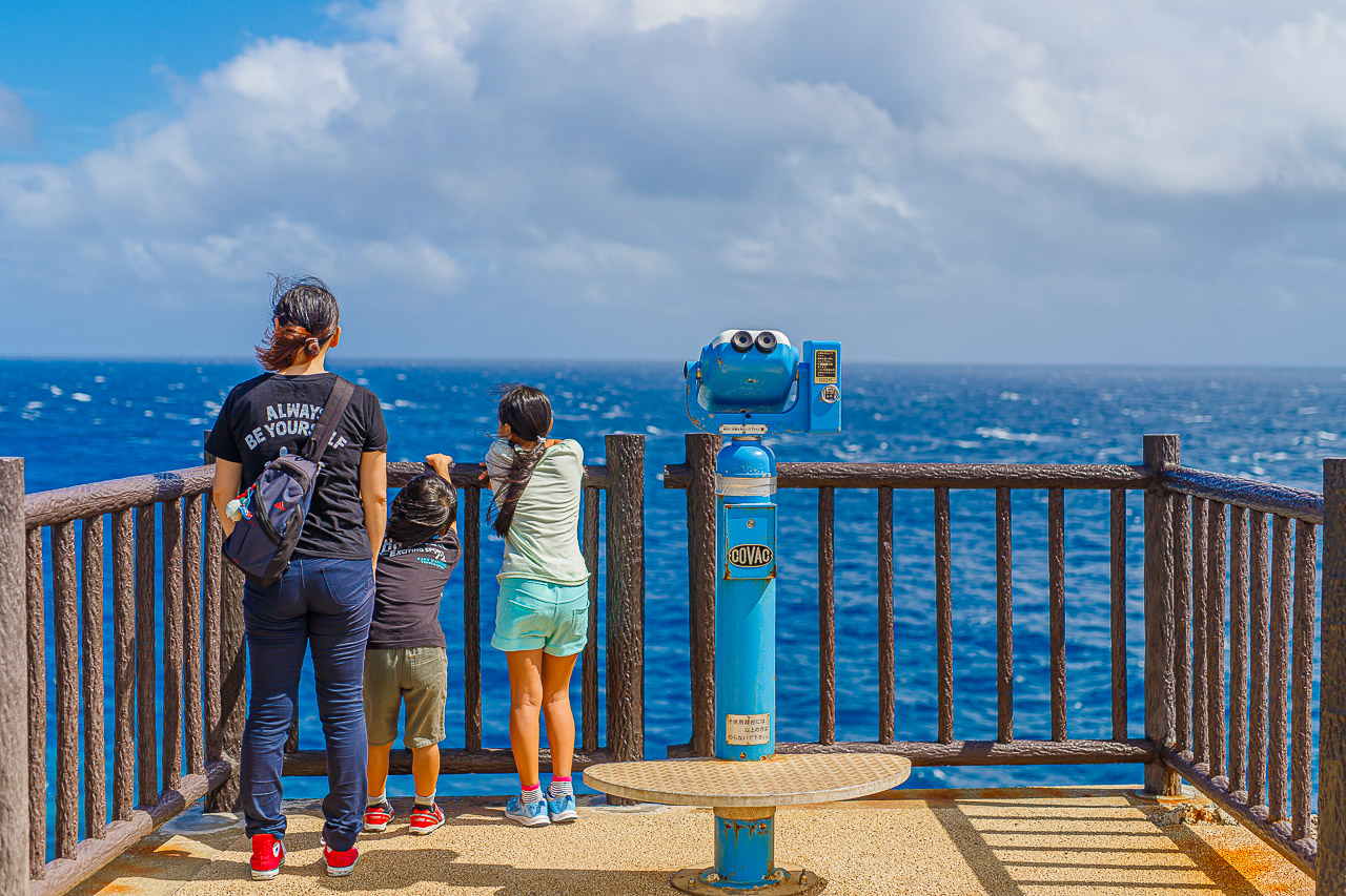
The account describes Cape Hedo’s eastern-facing position as making it a well-known place to watch the sunrise.
In clear weather, you can see Yoron Island in Kagoshima Prefecture, about 22 km away.